One thing I have learned about sailing is that learning to navigate on the waterways is not the same as navigating on land. Both are quite different skill sets.
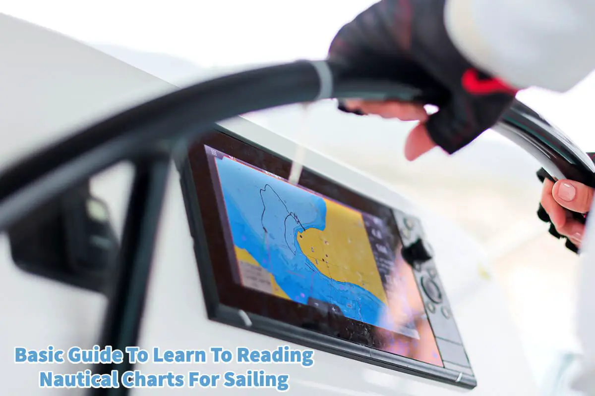
Whether you are an experienced sailor or a new boater, understanding how to read nautical charts is essential for safe and efficient navigation. Nautical charts are specialized maps that provide information about waterways, including water depth, hazards, navigational aids, and more. They are an essential part of your safe boating experience. Read on as we provide an essential guide to learning how to read nautical charts for sailing and boating and some advanced tips for more experienced navigators.
Table of Contents
- Why Boaters And Sailors Need To Understand Nautical Charts
- Some Tools To Help You To Use Nautical Charts Better
- Essential Tips For Using Nautical Charts
- Some Advanced Tips For Using Nautical Charts
- Related Questions
Why Boaters And Sailors Need To Understand Nautical Charts
Nautical charts are essential tools for anyone navigating on the water. They provide detailed information about water depth, underwater hazards, navigational aids, and other essential waterway features.
Without nautical charts, boaters would be at greater risk of running aground, colliding with other vessels, or becoming lost in unfamiliar waters.
It would be like someone trying to navigate a car around the rounds without knowing what road signs mean, such as slow down or even stop signs. That is why a boater or sailor must also understand the safety signs on the water.
In addition to providing critical information for safe navigation, nautical charts can help boaters plan their voyage more effectively. By understanding the features of the waterway and the potential hazards along the way, boaters can make informed decisions about their route and ensure a safe and efficient journey.
Some Tools To Help You To Use Nautical Charts Better
While nautical charts may seem daunting initially, many tools are available to help boaters understand and use them effectively. Here are some of the essential points to understand how to use nautical charts:
Scale Of A Nautical Chart
The scale of a nautical chart represents the ratio between the distance on the chart and the actual distance on the water. Understanding the scale is critical for measuring distances accurately and determining the time required to reach a destination.
Water Depths On A Nautical Chart
Nautical charts show water depths in feet or fathoms and use contour lines to connect points of equal depth. Boaters should be aware of the water depth in their navigating area and any potential hazards or shallow areas that may pose a risk to their vessel.
The water depths are essential to many boaters and sailors’ safe boating experience. Especially if you are sailing a sailboat with a prominent keel, you must understand how deep the water is so your boat does not beach.
Symbols On The Nautical Charts
Nautical charts use a variety of symbols and abbreviations to represent features on the chart, such as navigational aids, obstructions, underwater features, and other important information. Knowing how to read and interpret these symbols is critical for safe navigation.
Boaters or sailors must study these, especially if they are going into an area that they are unfamiliar with.
All of these tools on the nautical charts are there to help the boaters and sailors navigate the water safely. That is why all boaters and sailors must know how to read and check a nautical chart before sailing in an unfamiliar location.
Essential Tips For Using Nautical Charts
In addition to these essential tools, several tips can help boaters use nautical charts more effectively. These tips are designed to help you navigate the world’s waterways safer.
Here are some essential tips to keep in mind when using nautical charts:
Plan For A Safe Boating Or Sailing Experience
Before sailing, boaters should consult the appropriate nautical chart to ensure a safe and successful journey. This includes identifying potential hazards along the route and planning a safe and efficient course.
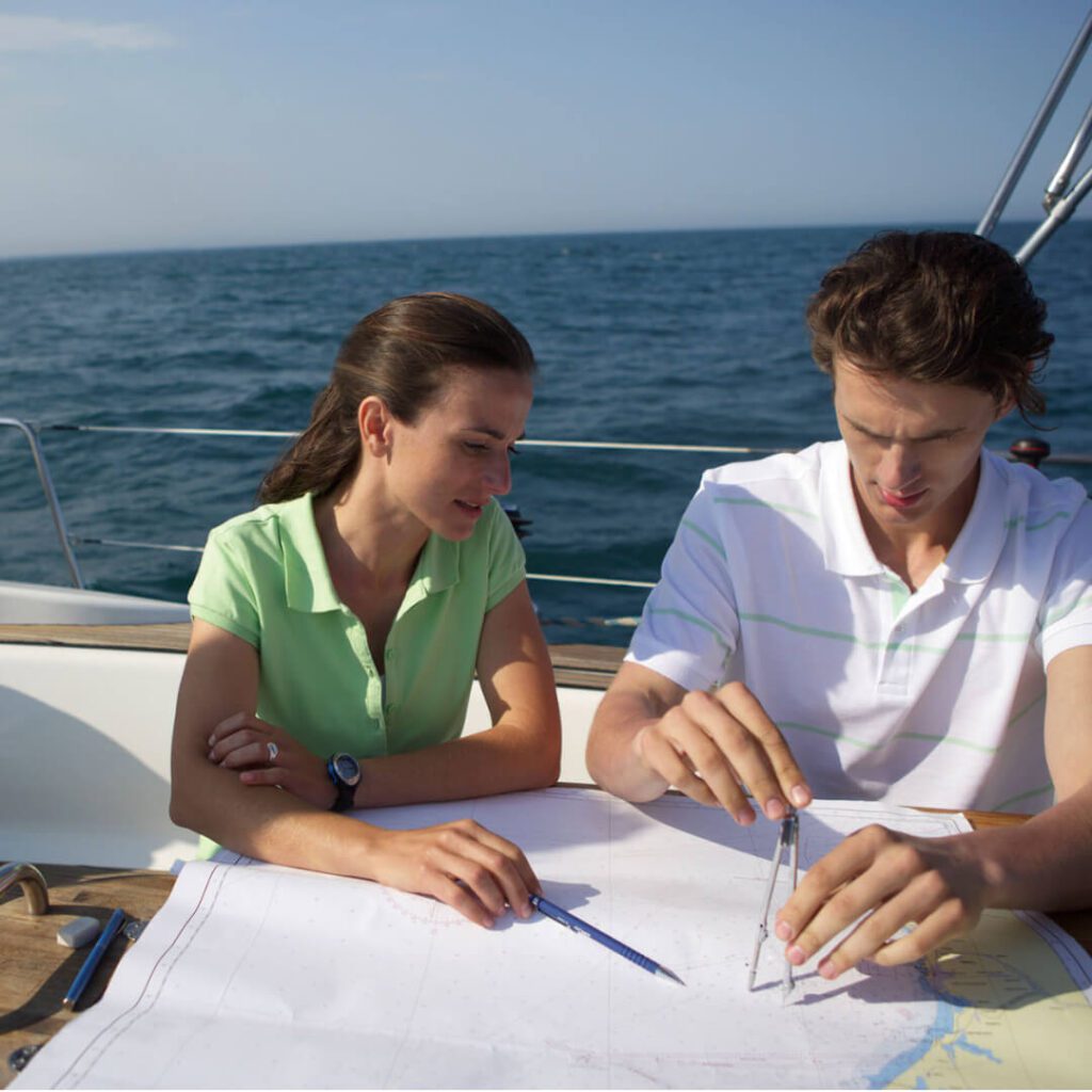
Use And Check Multiple Charts
Boaters should use multiple charts to get a complete picture of the waterway and identify potential hazards or challenges that may not be apparent from a single chart.
Stay Up-to-Date On The Nautical Chart Changes
Nautical charts are constantly updated to reflect changes in the waterway, such as new hazards or navigational aids. Boaters should always use the most up-to-date chart for their navigation to ensure they have the latest information.
Some Advanced Tips For Using Nautical Charts
For more experienced boaters and sailors, some advanced tips and techniques can help use nautical charts. Here are a few of the advanced tips for understanding nautical charts:
Understand Tides And Currents
Tides and currents can significantly impact navigation, and understanding them is critical for planning a safe and efficient voyage. Boaters should consult tide tables and current charts to understand the conditions in the area they are navigating.
Use GPS And Other Navigation Technology
While nautical charts are still the gold standard for navigation on the water, GPS and other navigation technology can provide valuable information and help boaters navigate more effectively. By combining GPS and other navigation technology with nautical charts, boaters can get a more accurate picture of their position and make informed decisions about their course.
Practice Dead Reckoning
Dead reckoning is a technique used to estimate a vessel’s position based on its speed and direction of travel. While it is not as accurate as GPS or other navigation technology, it can be a valuable backup method for determining a vessel’s position in case of a malfunction of your GPS and navigation technology or an emergency.
Learn Celestial Navigation
Celestial navigation is a technique used by the stars and other celestial bodies. While it is not commonly used in modern navigation, it can be a valuable skill for boaters who want to be self-sufficient and prepared for any situation.
Understanding nautical charts is essential for safe and efficient navigation on the water. Navigators must know how to read nautical charts to avoid hazards, navigate unfamiliar waters, and plan a safe and efficient voyage.
Using the essential tools and tips outlined in this post and more advanced techniques such as GPS, dead reckoning, and celestial navigation, boaters and sailors can ensure a successful journey on the water. Whether you’re a seasoned navigator or a beginner, there is always more to learn about using nautical charts; the more you know, the safer and more enjoyable your voyage will be.
At A Bus On A Dusty Road, we discuss culture, travel, life, sailing, and ex-pat living. We are all about “Living Life As A Global Citizen.” We explore social, cultural, and economic issues and travel.
We would love to have you be part of our community. Sign up for our newsletter to keep up-to-date by clicking here. If you have any questions, please contact me, Anita, by clicking here.
Listen to our Podcast called Dusty Roads. You can find it on all major podcast platforms. Try out listening to one of our podcasts by clicking here.
Subscribe to our A Bus On A Dusty Road YouTube Channel with great videos and information by clicking here.
Related Questions
Milwaukee Community Sailing Center, Top US Sailing School
Milwaukee community sailing center is located on Lake Michigan in downtown Milwaukee Wisconsin. The sailing center is registered as a charity whose primary focus is to teach basic, intermediate, and advanced sailing classes to adults, youth, and children. They are also a charity 501c3 organization that helps many underprivileged children learn the art of sailing.
By clicking here, you can discover Milwaukee Community Sailing Center, Top US Sailing School.
How Much Wind Is Too Much For A Beginner Sailor?
For a beginner sailor, the wind is usually recommended to be under 10 knots. Those who are more experienced or with a larger boat can consider going up to 12 knots of wind. A knot is not the same as miles per hour or kilometers per hour but is faster than these measurements.
By clicking here, you can discover How Much Wind Is Too Much For A Beginner Sailor?
No Experience Sailing, 6 Tips To Get Started
If you are going to take up sailing, you first must get on a boat and find out if sailing is suitable. The best sailors can handle their boats in all kinds and types of weather. Find a class that you can join and get certified. Sailing requires knowledge and skill. Find yourself a sailing community that you can be part of.
By clicking here, you can discover No Experience Sailing, 6 Tips To Get Started.