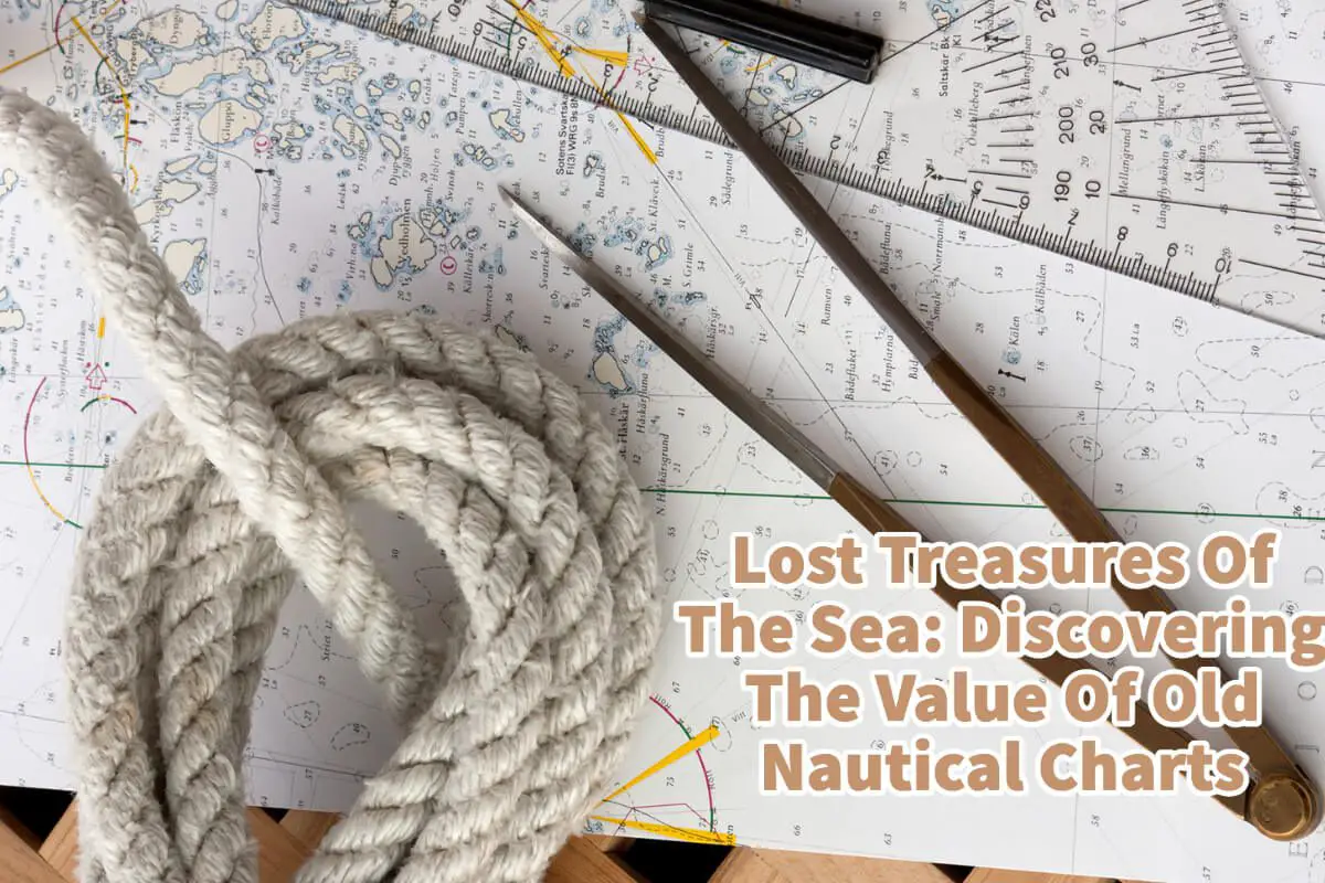
For centuries, sailors and navigators have relied on nautical charts to guide them safely through the world’s oceans and waterways. These maps not only chart the sea’s depths but also reveal important information about currents, tides, and other hazards that can threaten a ship’s voyage.
While modern navigation technology has largely replaced the need for traditional paper charts, antique nautical charts still hold a special place in the hearts of collectors and maritime enthusiasts. If you come across an old nautical chart, you may wonder if it has any value beyond its historical significance. Old nautical charts can be pretty valuable, particularly those produced by famous cartographers or associated with significant events in maritime history.
Table of Contents
- Navigating The Seas Safely: Why Nautical Charts Are An Essential Tool For Sailors And Boaters
- What Makes Nautical Maps Valuable?
- Appraising Your Nautical Charts and Maps: Where to Go for Expert Valuation
- Related Questions
I have been fascinated with nautical maps since taking a Milwaukee Community Sailing Center class. We learned how to read the navigational map of Lake Michigan and the Milwaukee harbor. So read on as we provide tips for identifying and appraising antique nautical charts so you can determine if your chart is a lost treasure waiting to be discovered.
Navigating The Seas Safely: Why Nautical Charts Are An Essential Tool For Sailors And Boaters
Nautical charts are valuable tools for sailors and boaters because they provide critical waterway information, including depths, shoals, underwater obstructions, navigational aids, and other hazards. They are essentially maps designed for use on the water and are used to navigate safely and efficiently through unfamiliar waters.
In addition to the essential information about water depth and hazards, nautical charts also show the locations of ports, marinas, and other points of interest to boaters. They can help a boater know if they have enough clearance between the lake or seabed to the bottom of their keel.
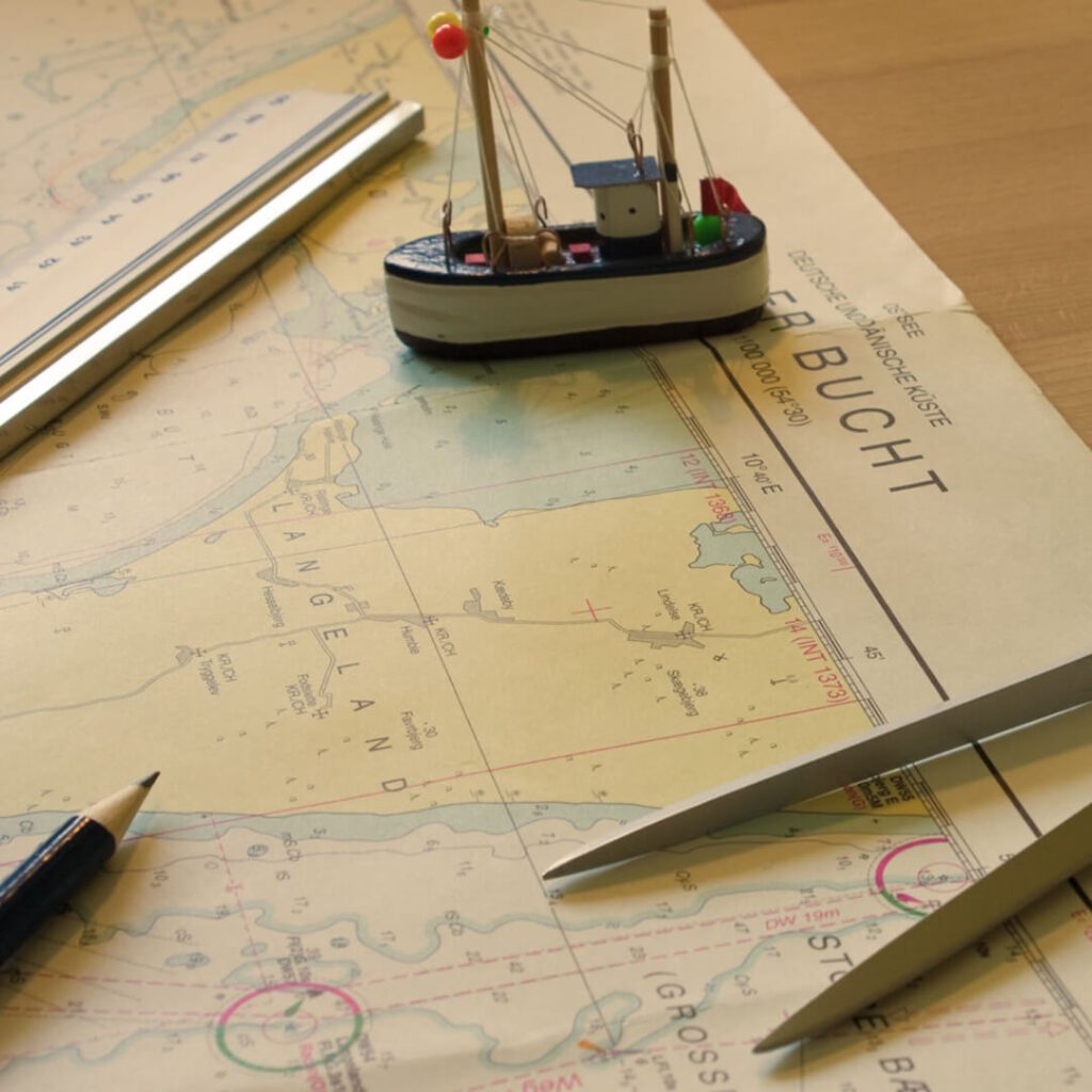
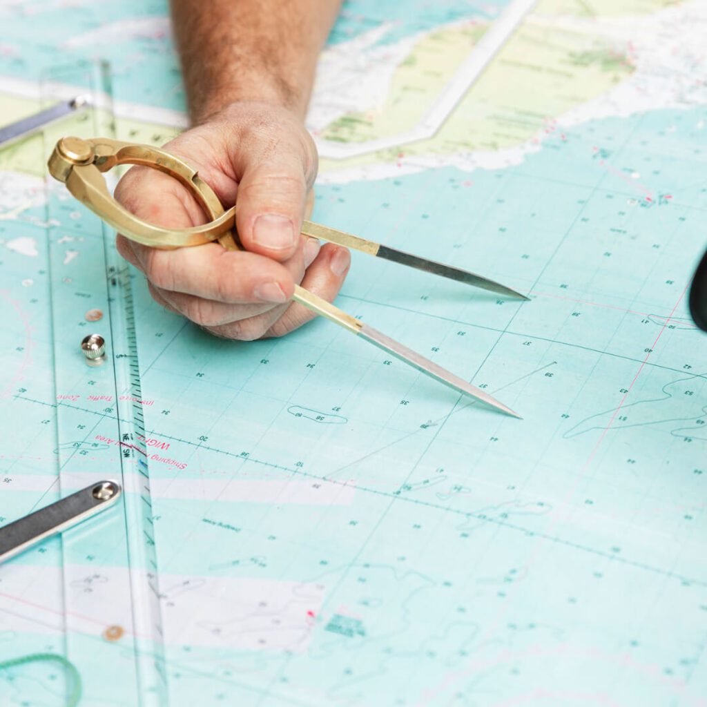
An essential feature of nautical charts is accurately measuring distances and determining bearings. This is essential for navigation, as boaters need to know their position relative to landmarks, navigational aids, and other vessels to avoid collisions and safely navigate through narrow channels and harbors.
Another critical aspect of nautical charts is using symbols and abbreviations to represent information. These symbols provide a quick and easy way to understand the information contained on the chart, allowing boaters to make decisions quickly and confidently.
Nautical Charts Are Essential Boating Tools
Nautical charts are essential tools for safe and efficient navigation on the water. They provide vital information about water depth, hazards, and points of interest, as well as accurate distance and bearing measurements. Without nautical charts, boaters would be at greater risk of running aground, colliding with other vessels, or becoming lost in unfamiliar waters.
A nautical chart is a specialized map designed for use on the water. It provides essential information about water depth, hazards, and points of interest, as well as accurate distance and bearing measurements.
For sailors and boaters, nautical charts are invaluable tools that allow them to navigate safely and efficiently through unfamiliar waters. Anyone planning a voyage on the water should always consult the appropriate nautical chart to ensure a safe and successful journey.
Nautical Charts Have A Very Long History
The history of nautical charts dates back thousands of years, with early seafarers using rudimentary maps to navigate the seas. However, it was not until the 13th century that nautical charts began to evolve into more sophisticated tools for navigation.
The earliest known nautical charts were produced by Arab and Mediterranean cartographers, who used a combination of geometry, astronomy, and observations of the natural world to depict the sea and coastline accurately.
During the Age of Exploration in the 15th and 16th centuries, nautical charts became increasingly crucial as Europeans began to explore and map the world’s oceans. In 1489, the Portuguese cartographer Pedro Reinel produced the first nautical atlas, which included detailed charts of the African coast, the Indian Ocean, and the Atlantic.
Over the centuries, nautical charts continued to evolve, with new technologies and innovations enabling cartographers to create more accurate and detailed maps. In the 19th century, for example, the development of hydrographic surveying techniques allowed the creation of more complex charts, making sea travel safer and more efficient.
Today, nautical charts are still an essential tool for mariners, and they continue to be updated and refined using the latest technological advancements. Many maps are now online and connected to a GPS.
But still, these nautical maps play a crucial role in ensuring the safety of ships and sailors at sea. Their historical significance lies in their ability to represent the development of human knowledge and exploration over time.
What Makes Nautical Maps Valuable?
Several factors can make a nautical map valuable in terms of historical significance and monetary value. Here are a few key factors that can make a navigational map valuable:
The More Rare A Nautical Chart, The More Valuable
Nautical maps that are rare or unique can be precious to collectors and historians. For example, a map that was only produced in limited quantities, or one that a well-known cartographer or explorer created, may command a high price at auction.
If you have a nautical chart or map that has been highly produced, even though it is old, it probably will not be as valuable as one that is very rare.
The Older The Nautical Chart, The More Valuable.
Usually, the older nautical maps can be treasured, as they provide a window into the history of navigation and exploration. For example, maps that date back to the Age of Exploration can be treasured due to their historical significance.
Even if you have a nautical chart that is 100 years old, it may not be as valuable as you think, especially if many of the charts have been reproduced and there are many surviving copies.
The Accuracy Of The Nautical Chart Can Affect Value
Nautical maps that are remarkably accurate or detailed can also be valuable, as they may have been used to navigate a particularly hazardous or important sea area. Maps used by famous explorers or navigators, such as Christopher Columbus or James Cook, may also be valuable.
However, not all antique nautical charts were accurate or used by famous explorers such as Christopher Columbus or even James Cook, so not all may have the same value.
The Condition Of The Nautical Chart Can Affect Value
The condition of a nautical map can also be a factor in its value. Maps that have been well-preserved through time, with minimal damage or wear, will typically be more valuable than those that have been heavily used or damaged.
Most nautical maps that were used will show wear and tear. These nautical maps are usually exposed to harsh weather and open seas. Their condition could affect their value even if they were used by someone famous.
The Provenance Of Your Nautical Chart Is Important
The provenance of a nautical map can also play a role in its value. Maps with a clear and documented ownership history are treasured due to their association with important historical figures or events.
Appraising Your Nautical Charts and Maps: Where to Go for Expert Valuation
If you have a nautical chart or map you believe may be valuable, you can visit several places to appraise it.
Here are some options for you to consider to have your map appraised:
Antiques Dealers
Many antique dealers specialize in maps and other paper collectibles, including nautical charts. Look for a dealer with map experience who can provide an expert appraisal.
Auction Houses
Auction houses often have specialists in maps and nautical charts who can provide appraisals. Look for a reputable auction house with experience with maps and other paper collectibles.
Map And Chart Dealers
Many dealers specialize in maps and nautical charts. Look for a dealer who has experience with the specific type of chart you have and who can provide a reliable appraisal.
Online Appraisal Services
Several online appraisal services specialize in maps and nautical charts. These services can provide appraisals based on photographs and descriptions of your chart. However, be sure to choose a reputable and reliable appraisal service.
Professional Organizations
There are professional organizations for map and chart collectors, such as the International Map Collectors’ Society. These organizations may be able to provide recommendations for appraisers or offer appraisal services themselves.
Regardless of where you go for an appraisal, research and choose a reputable and reliable appraiser with experience with nautical charts.
The value of a nautical map depends on a range of factors, including its rarity, age, accuracy, condition, and provenance. Collectors and historians value nautical maps for their historical significance and ability to provide insight into the history of navigation and exploration.
At A Bus On A Dusty Road, we talk about travel, life, and ex-pat living. We are all about “Living Life As A Global Citizen.” We explore social, cultural, and economic issues and travel.
We would love to have you be part of our community. Sign up for our newsletter to keep up-to-date by clicking here. If you have any questions, please contact me, Anita, by clicking here.
Listen to our Podcast called Dusty Roads. You can find it on all major podcast platforms. Try out listening to one of our podcasts by clicking here.
Subscribe to our A Bus On A Dusty Road YouTube Channel with great videos and information by clicking here.
Related Questions
4 Tips For Preparing Your Own Family History Trip And Travel
Before you decide to travel to your Ancestor’s hometown, there are some things you should do to make sure your family history tour is successful. First, you must research as much genealogy as possible before you travel. You should then do local research on the areas you are traveling to and map out what places you should visit. Also, take some time to study the maps of where you are traveling.
To learn more, you can read our blog on 4 Tips To Preparing Your Own Family History Trip and Travel by clicking here.
Is It Always Dark In Sweden? About The Midnight Sun
It is not always dark in Sweden but only in winter. Southern Sweden and Northern Sweden can have very different amounts of darkness in the winter. Some parts of northern Sweden do not see any light for many months during winter. Southern Sweden will have more sunlight than Sweden north in the winter months.
You can discover more by reading our blog, Is It Always Dark In Sweden? About The Midnight Sun, by clicking here.
Lapland Or Sapmi – In Norway, Sweden, Finland, And Russia
The Sami are indigenous people who live in northern parts of Norway, Sweden, Finland, and Russia, known as Lapland or Sapmi. Most Sami people live in Norway and Sweden, some in Northern Finland, and a few in Russia.
By clicking here, you can discover Lapland Or Sapmi – In Norway, Sweden, Finland, And Russia.